
Euclid ZIP Code Coverage
USPS groups four ZIP codes with Euclid: 44117, 44119, 44123, and 44132. They are Euclid delivery geography, not municipal districts or neighborhood boundaries. That is why a Euclid record search should begin with the full address instead of choosing a ZIP from a city-name assumption. The coverage descriptions below are deliberately narrow. They report the Euclid road or city evidence found in the official sources, rather than drawing boundary lines that the sources do not establish.
| ZIP | Areas Covered | Post Office | Notes |
|---|---|---|---|
| 44117 | Euclid Avenue and western/central city references | Euclid Post Office, 21551 Euclid Ave. | Confirm the delivery ZIP for the exact address. |
| 44119 | Euclid municipal addresses, including N. Vine Avenue, and northwestern-border context | Beachland Post Office, Cleveland mailing city | A Euclid address can use a ZIP whose facility label says Cleveland. |
| 44123 | City Hall and East 222nd Street | USPS label list groups it with Euclid | Municipal-core example, not a claimed formal neighborhood boundary. |
| 44132 | Eastside, Lakeland, and E. 260th examples | Noble facility, 25101 N. Lakeland Blvd. | Euclid-serving ZIP; verify each address. |
USPS’s Euclid Post Office listing identifies the facility associated with 44117.
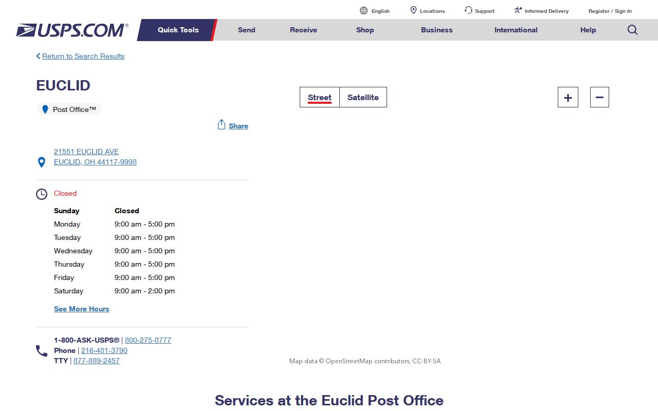
The facility address supports the Euclid postal-area reference, but it does not assign a ZIP to every individual delivery address. Use the USPS address lookup for that final check.
Euclid 44119 Postal Labels
The 44119 entry is the local comparison worth remembering. City material has Euclid addresses in 44119, while USPS lists the Beachland Post Office at 891 E. 185th Street with Cleveland as its mailing city. Neither statement moves the Euclid city line. A postal facility label tells a mail-routing story, while city records use their own municipal address context. Treat the two labels as compatible, not as competing proof of jurisdiction.
This mismatch affects Euclid searches that offer a city field. Enter the street address as written, and use Euclid when the county property search asks for a city. Do not discard an otherwise matching Euclid city record merely because the postal facility attached to its ZIP is identified with Cleveland.
The City of Euclid statistics page supplies the city’s geographic context.
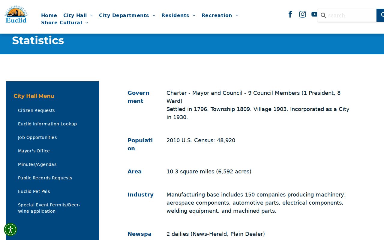
The city identifies major road anchors, including Euclid Avenue, Lake Shore Boulevard, Chardon Road, Richmond Road, and I-90. Those anchors help orient an address, but they do not define postal boundaries.
Verify a Euclid ZIP Code
Use a short, Euclid evidence-preserving sequence when a postal label is the starting point. USPS is the delivery check. MyPlace is the county property path, and the Recorder is the document path. Keeping each Euclid result with the full address avoids treating a five-digit code as a substitute for parcel identity.
- Confirm the complete delivery address with the USPS lookup. Record the ZIP exactly as returned, including a ZIP+4 when it is supplied.
- Use that exact street address in Cuyahoga County MyPlace. Set City to Euclid when it helps narrow the result, then select the parcel.
- Compare the property situs, parcel ID, and legal description on the selected record. A mailing address can differ from the property address.
- Open the transfer or document path and continue in Cuyahoga Official Records Search with the parcel, address, party, or legal-description information.
MyPlace offers City, Owner, Parcel, and Address modes. The Recorder’s advanced form offers property address, parcel ID, names, dates, document type, volume/page, and legal criteria. Neither inspected local portal exposed a ZIP filter, so there is no reliable ZIP-only parcel result to promise.
After a parcel is selected, MyPlace can expose General Information, Transfers, Values, Land, Building Information, Permits, Tax By Year, and Get a Document List. An inspected Euclid result showed a parcel ID, owner name, street address, and city/state/ZIP, along with a legal-description field. That combination is more useful than the ZIP alone because it distinguishes the Euclid property situs from other address fields. MyPlace also says its public-service data are not the official public record, so use the originating custodian when an original document or official Euclid confirmation is needed.
The Recorder search is the next check when the question is about a recorded instrument. Its advanced criteria include grantor, grantee, document type, recorded or instrument date, property address, parcel ID, volume, page, and several legal-description fields. The index can locate a document trail, while the parcel and legal description help confirm that a name match belongs to the Euclid property in question.
Euclid ZIP Code Limits
A ZIP code can narrow a Euclid address question, but it cannot create a citywide name list. MyPlace is address, owner, parcel, and city keyed. The Recorder is keyed to recorded documents and uses address, parcel, party, date, and legal-description criteria. Both tools need a Euclid property-level path after USPS confirms the address. The county’s 143.065 street miles also make Euclid address-by-address or parcel-by-parcel work more faithful than a claimed ZIP-wide export.
Ohio DRC’s offender-search interface is one state tool that displays an optional ZIP field, but it has a defined custody and supervision scope.
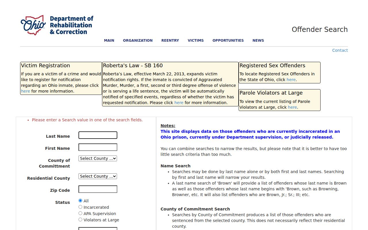
DRC says its residential-county or ZIP information is a last recorded address, not a current location, and the result can be delayed or unavailable. It is not a Euclid resident directory and should not be used as one.
The same distinction applies to address fields inside local records. A property situs is the location of the parcel. A mailing address, when a record displays one, can point elsewhere. A legal description identifies the land in recorded terms. City permit files use the project address and may also contain supplied owner or applicant contact information. A ZIP by itself cannot connect those separate fields or establish that a named person lives at the property.
Euclid ZIP Code Terms
Postal vocabulary is easy to overread in a property search. These terms describe delivery organization, not ownership, residency, or municipal jurisdiction. The research did not identify a local PO-box-only or unique ZIP, so the definitions remain general rather than assigning those labels to a Euclid code.
- ZIP
- A five-digit Postal Service code used to sort and route mail to an area or delivery operation.
- ZIP+4
- The added four digits that narrow delivery routing beyond the five-digit ZIP. It is not a separate city boundary.
- PO-box ZIP
- A code used for post-office-box delivery. It should not be assumed to describe nearby street delivery.
- Unique ZIP
- A code assigned to one organization or high-volume recipient. It does not establish the organization’s local jurisdiction.
- Carrier route
- A mail-delivery grouping used inside postal operations. It is not an official neighborhood or parcel boundary.
ZIP Fields Outside Euclid
Some statewide professional directories accept geographic fields, but their scope stays with the agency’s own records. They can answer a credential or attorney-directory question when a name is already known. They do not furnish a household roster or verify that someone lives at a particular Euclid address.
Ohio’s license-lookup page is shown in the captured state resource.
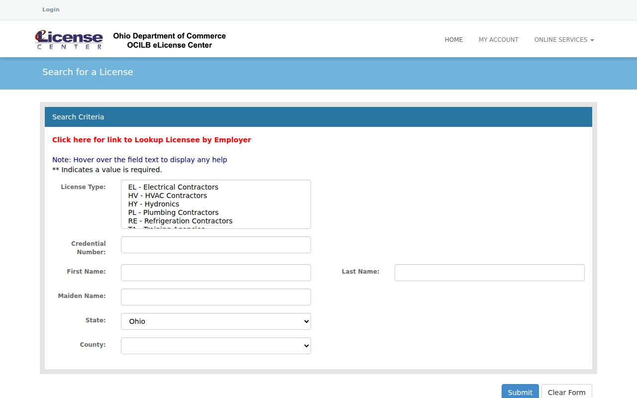
Ohio eLicense is a board-filtered credential lookup, with data the state says are updated daily. Its purpose is credential information, not address research.
The Ohio Supreme Court attorney search accepts ZIP alongside name and other geographic fields.
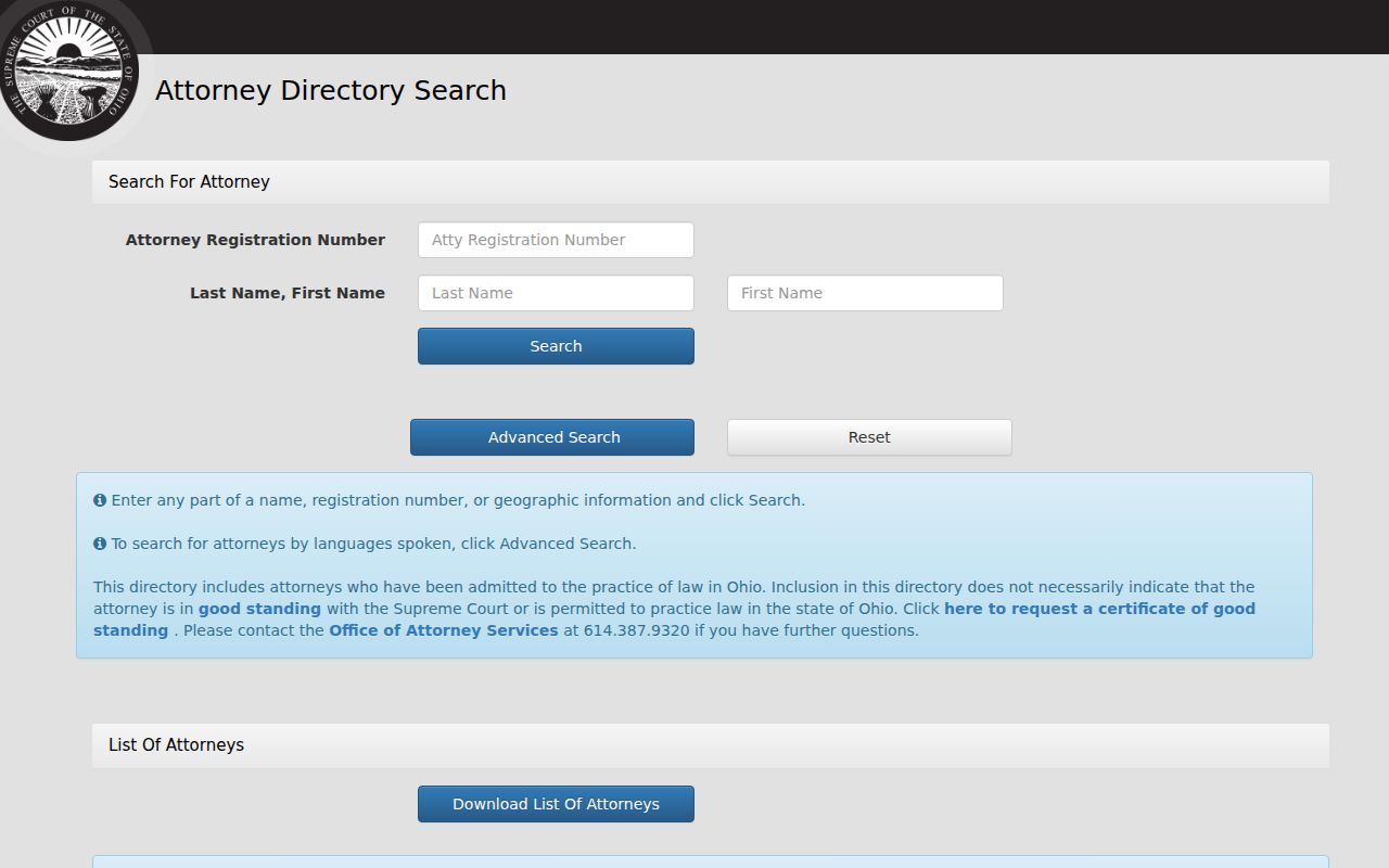
An attorney-directory appearance is not proof of current good standing, according to the court’s page. Its ZIP field is another example of a purpose-specific state search, not a local address roll.
Euclid Postal Road Geography
Euclid’s official history and statistics identify Lake Erie, Euclid Creek, US 20/Euclid Avenue, US 6/Chardon Road, SR 283/Lake Shore Boulevard, SR 175/Richmond Road, and I-90/SR 2 as Euclid geographic anchors. County map layers add roads, municipal boundaries, parcels, imagery, and road-jurisdiction information. They are helpful for placing a verified Euclid address in context, while USPS remains the delivery authority.
No source reviewed established a Euclid quadrant system, citywide renumbering date, or ZIP realignment date. Avoid filling those gaps with a map-label assumption. The county map can locate a parcel after the address is known, but it is not a substitute for the Postal Service’s address validation. It also cannot turn a ZIP into a municipal boundary.
Euclid Historic Address Names
Euclid postal verification is current-address work. Older Euclid sources may require a street-name check first. The 1928 Euclid directory labels East 222nd Street as formerly Bliss Road, a documented bridge between historical and modern address research. Search both names when an older entry fails to match a present Euclid address, then compare the surrounding street context and the parcel’s legal description before treating the results as the same place.
The historical directory offers a name-and-address clue for its published year, not proof of a present address. For a street-level parcel method after an address is established, use the Euclid street directory.
ZIP-Wide Lists in Euclid
No official source reviewed supplies a one-click list of all residents in a Euclid ZIP. That gap is important. Postal geography can identify the correct address format, then county and city custodians can answer a property, document, permit, or archival question at the appropriate level. A recorded owner is not automatically every household member, and a property result should not be presented as a resident roster.
For a record not available online, Ohio’s Public Records Act, R.C. 149.43, governs requests to public offices, subject to exemptions. A useful request identifies the address, record type, and approximate date instead of asking a custodian to create a ZIP-based report it does not keep.