
Walking a Euclid Street by Address
A Euclid street directory search begins with the exact address, not a broad street-name query. Enter it in MyPlace, with City set to Euclid when useful, and open the matching parcel. Record the parcel ID, situs address, legal description, and the entries in Transfers. Next, use the transfer date, document number, parcel, or legal description in the Recorder’s index. The owner named in a property or deed record is a recorded party, not proof of every person connected with that address.
After the ownership trail is clear, an official tool can test a specific name in a Euclid voter query under its public rules. The final historic Euclid search step is a dated Euclid directory, which may show a person and address for its publication year. This order preserves the difference between current Euclid parcel data, recorded documents, public registration data, and historical publication evidence.
- Search the Euclid address in MyPlace and open its Parcel ID.
- Read General Information and Transfers for owner, parcel, transfer, and legal-description clues.
- Follow Get a Document List or use those clues in the Recorder’s Official Records Search.
- Use the Ohio voter lookup for a named-person question, not as a street browser.
- Check a dated Euclid directory for historical address context and search both historic street names when warranted.
Note: The process maps recorded property evidence first, then adds only the limited address evidence each later source supports.
MyPlace Fields for a Euclid Street
MyPlace is the county’s address-keyed property interface for the Euclid street directory. Its Euclid search starts with a City dropdown and a Search By choice of Owner, Parcel, or Address. Results invite the user to select a Parcel ID for the matching Euclid property. That choice opens General Information, Transfers, Values, Land, Building Information, Building Sketch, Other Improvements, Permits, Property Summary Report, Tax By Year, Get a Document List, Informal Reviews, and Board of Revisions Cases. The Euclid map link offers a visual way to locate a parcel.
| Field or control | Type | Euclid address use |
|---|---|---|
| City | Dropdown | Select Euclid to narrow a search |
| Search By | Mode choice | Owner, Parcel, or Address |
| Search | Text field | Enter data suited to the selected mode |
| Parcel ID | Result control | Open the Euclid property modules |
| View Map | Map control | Place the Euclid parcel and click an adjoining outline |
The Cuyahoga Real Property Information page is the official entry point for MyPlace and related property resources.
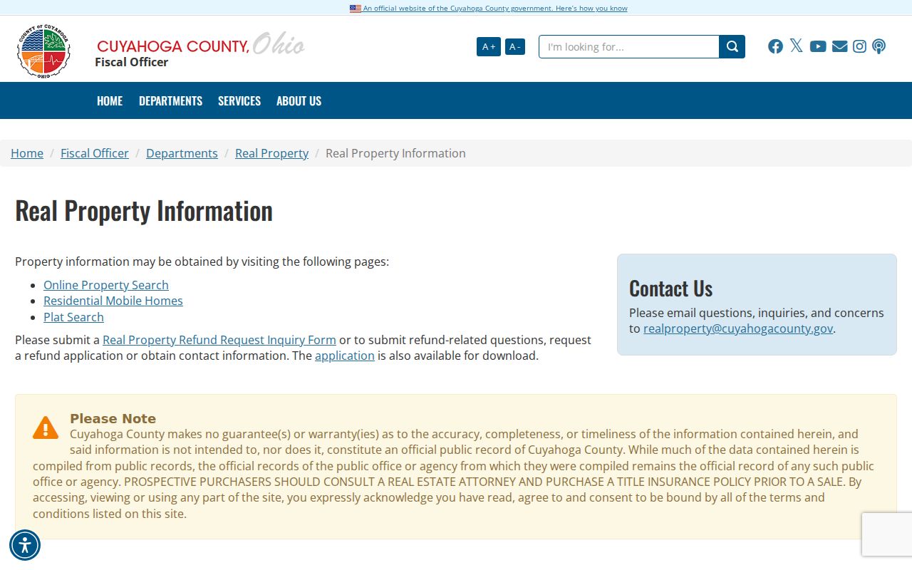
MyPlace calls its data a free public service and directs users to source offices for the official record. Treat the panel as an address and ownership lead for Euclid, then verify the document with its custodian.
Euclid Parcel Map Clicks
The parcel-map portion of a Euclid street directory search is one property at a time. MyPlace instructs users to zoom in and click a parcel for more information. The county GIS documentation used for Euclid identifies municipal boundaries, roads, parcel layers, imagery, and related mapping layers. Select the starting parcel, then click an adjoining shape to examine that separate parcel. This reveals Euclid parcel geography and the property-data path without claiming that the map produces a roster for the full street.
The county’s map fabric has a 2,000-record maximum, and the research did not verify a public radius or buffer control. Use map clicks, not a purported bulk export, when comparing a Euclid block. The relevant Euclid result can include a parcel ID, owner name, street address, city/state/ZIP, and market field. Use the selected Euclid parcel’s document path if the next step calls for a recorded filing.
The Cuyahoga parcel GIS viewer provides the county map interface used for this parcel-by-parcel method.

The image supports a Euclid map-based parcel check. It does not establish everyone at an address or authorize a street-wide compilation of personal information.
Euclid Deed Searches by Address
Once MyPlace identifies the parcel and transfer clues, the Recorder’s Advanced Search is the strongest Euclid street directory tool for a deed chain. The Official Records Search accepts property address, parcel ID, party names, grantor, grantee, recorded or instrument dates, document types, volume, page, single document numbers, document-number ranges, and legal-description fields. For a Euclid filing, county instructions say name tokens use last name then first name, dates use MM/DD/YYYY, and parcel IDs include dashes.
| Recorder field | Useful address connection | Limit |
|---|---|---|
| Property Address | Find filings tied to a stated Euclid address | Address can change over time |
| Parcel ID | Connect a Euclid property record to documents | Use the exact county format |
| Grantor / Grantee | Follow parties through a Euclid transfer chain | Similar names need other keys |
| Volume / Page | Confirm an identified Euclid instrument | Requires an existing clue |
| Legal description | Test Euclid property identity across eras | Wording and dimensions can change |
The Cuyahoga Official Records Advanced Search displays the county’s address, parcel, party, and legal-description controls.
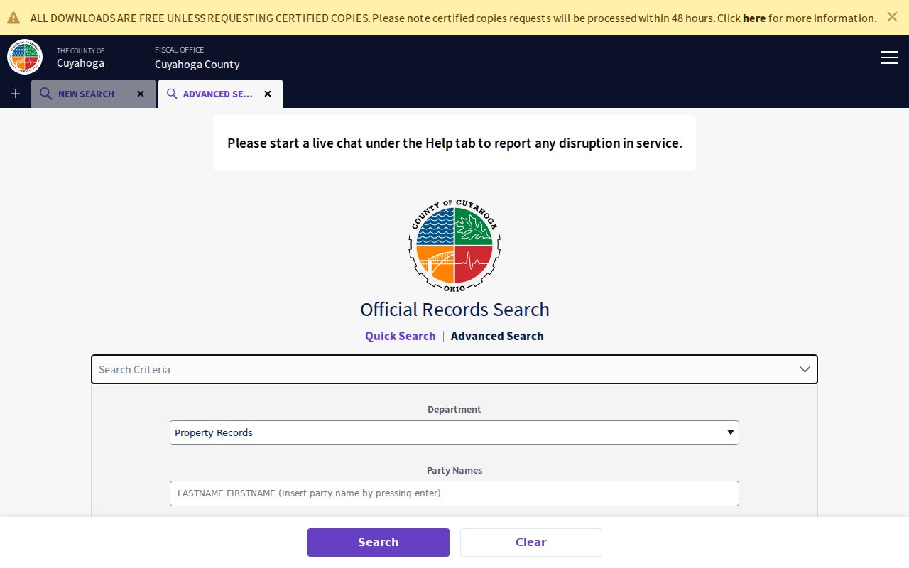
Use a recorded Euclid transfer to trace title, not to identify every person associated with a place. A mortgage, lien, release, plat, or deed on a Euclid parcel reflects a particular filing and party role.
Euclid Permit Files Along a Street
Euclid’s municipal permit forms are a separate address record, not a public permit-history search. The city permit materials include residential general, electrical, HVAC, plumbing, point-of-sale inspection, vacant-property registration, accessory-structure, fence, and other forms. The Euclid Residential General Building Permit asks for a project address, property-owner contact fields, contractor contact fields when applicable, applicant certification, project type, dimensions or cost where needed, description of work, and a site plan as instructed.
For a historic permit file, send the city a focused request with the Euclid street address, permit type, and approximate period. The city’s published permit contact route accepts submissions and questions. A file can be helpful for a Euclid project chronology or an address-linked application, but the names in it should be described as supplied by the form, not as an address roster.
Euclid All Forms and Permits lists the city’s current form categories and the relevant municipal route.
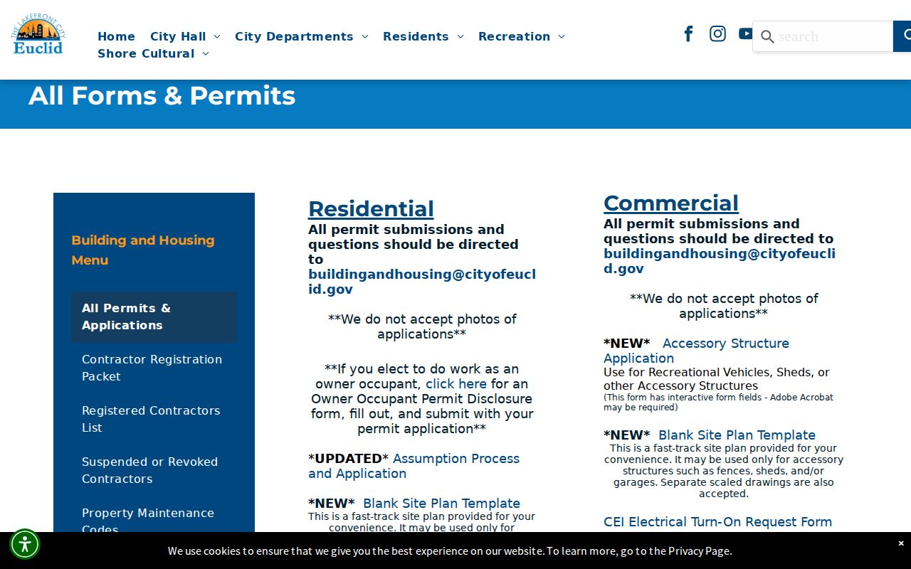
The forms page confirms the record channel even though the researched city page did not expose an address-searchable permit archive.
Euclid Street Directory Record Coverage
The following sources form the address trail for a Euclid street directory. They connect parcel, property, document, or historical Euclid address facts. They do not create a complete list of current people on a street. Read each Euclid result within the limits of its own record type.
| Address record set | Custodian | What it can show | Access route |
|---|---|---|---|
| Parcel and property card | Fiscal Officer | Parcel, owner, situs, legal description, transfers | MyPlace owner, parcel, or address search |
| Parcel map | Fiscal Officer GIS | Parcel geometry and nearby selected parcel | MyPlace View Map or county GIS |
| Recorded instrument | Transfer and Recording | Parties, dates, document type, parcel, legal clues | Official Records Search, counter, or request |
| City permit or inspection | Euclid permit office | Project address, form-supplied parties, work, timing | Specific city request |
| Historic map, tax, and directory | County Archives / Library | Earlier property or address context | Appointment, archive request, or digitized volume |
The Euclid parcel ID and legal description make the most durable bridge between the property card and the Recorder. A street name alone in Euclid is less stable, especially in older material.
Bliss Road in Euclid Street History
The Euclid street directory has a documented historical-name clue: the 1928 Official Illustrated History and Directory of Euclid identifies East 222nd Street as formerly Bliss Road. When a Euclid address trail crosses the directory’s era, search both names in published directories, maps, record indexes, and family papers about Euclid. This is a precise continuity method for one documented name change.
Do not extend the Bliss Road clue into a claim of a citywide renumbering or a universal street-name conversion. Research did not verify a general Euclid renumbering date. The safe approach is to retain the street name found in each source and test the other documented name when a match is missing.
Euclid Street Archives by Era
For an older Euclid address, Cuyahoga County Archives divides useful Euclid property sources by era. The property-research guide identifies original map volumes around 1860 to 1945 at the Archives and 1945 to the present at the Fiscal Officer Map Room. County tax records are listed around 1819 to 1986 at the Archives and from 1987 forward online or through the Fiscal Officer. The Archives also holds county-suburb atlases for 1852, 1874, 1892, and 1903, plus tax maps for 1860, 1870, 1880, and 1890.
Start an appointment request with a Euclid address or parcel number. The Archives advises detailed, separated requests that name the record type, surname or parcel, dates, and a mailing address. Historic Euclid property material can show a changing parcel or value context, but the guide warns that street names, dimensions, and property descriptions may change.
The Cuyahoga County property-history guide explains this map, tax, deed, and appointment route.
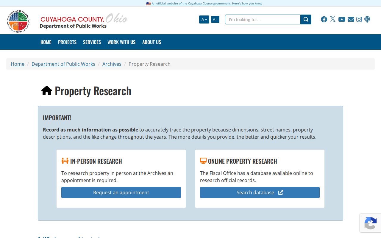
This archive chain fills the gaps between modern parcel systems and the earlier geography recorded in Euclid sources.
Euclid Voter Lookup Is Name Based
Ohio Voter Search is not a Euclid street directory browser. It requires first name, last name, and county, with a street-name control available later to narrow an individual Euclid query. Its public function is voter registration, precinct, and polling-location information. The Cuyahoga Board’s own lookup uses last name and date of birth. Neither route supports a claim that every Euclid address on a named street can be searched as a full public roll.
Ohio R.C. 3503.15 and related provisions exclude protected data. Safe at Home participants, protected public-service-worker addresses, telephone, email, Social Security, driver-license, and other protected fields remain outside public results. For a tailored Euclid civic-record question, the Board’s public-records process is the appropriate fallback, and it does not require creating a custom report that does not already exist.
Euclid Address and ZIP Limits
A ZIP code is delivery geography, not a city boundary or a parcel key. USPS groups 44117, 44119, 44123, and 44132 under Euclid, but exact address verification belongs with the USPS address tool. For a Euclid parcel, MyPlace supports City, Owner, Parcel, and Address, not a confirmed top-level ZIP filter. The Recorder’s visible advanced fields include property address and parcel ID, not a ZIP field.
A property can carry a situs address, a mailing address, and a legal description that do not say the same thing. Use the verified Euclid address to open the Euclid parcel, then follow the parcel and legal description into recorded documents. A ZIP label alone cannot connect a person to a Euclid property record.
Euclid Street Directory Terms
These terms keep an address-led Euclid search tied to the actual Euclid records and their limits.
- Parcel
- A locally assigned property unit used by tax and land records.
- Situs address
- The physical address of a property, which may differ from mailing information.
- Plat
- A recorded map that describes subdivision or property configuration.
- Criss-cross directory
- A historical directory arranged by address instead of only by name.
Euclid Street Directory Privacy Limits
A Euclid address result has firm boundaries. It can identify a selected Euclid parcel, a recorded owner, a document party, a property filing, or a dated directory entry. It does not establish all people at the location, protected participants, private motor-vehicle information, or a current personal profile. Safe at Home protections, voter exclusions, statutory redaction routes, and the Driver’s Privacy Protection Act all matter when using Euclid address-related records.
For a question that turns from a whole street to one named person, use a narrow Euclid record-by-record process rather than expanding an address trail. Historic volumes are treated separately in the Euclid city directory collection, where each publication year is preserved as its own snapshot.
Lawful use. Use Euclid address records for personal, lawful research only. Stalking, harassment, intimidation, and misuse of protected information are prohibited by Ohio law.